Lierne

Municipality · Trøndelag
About Lierne
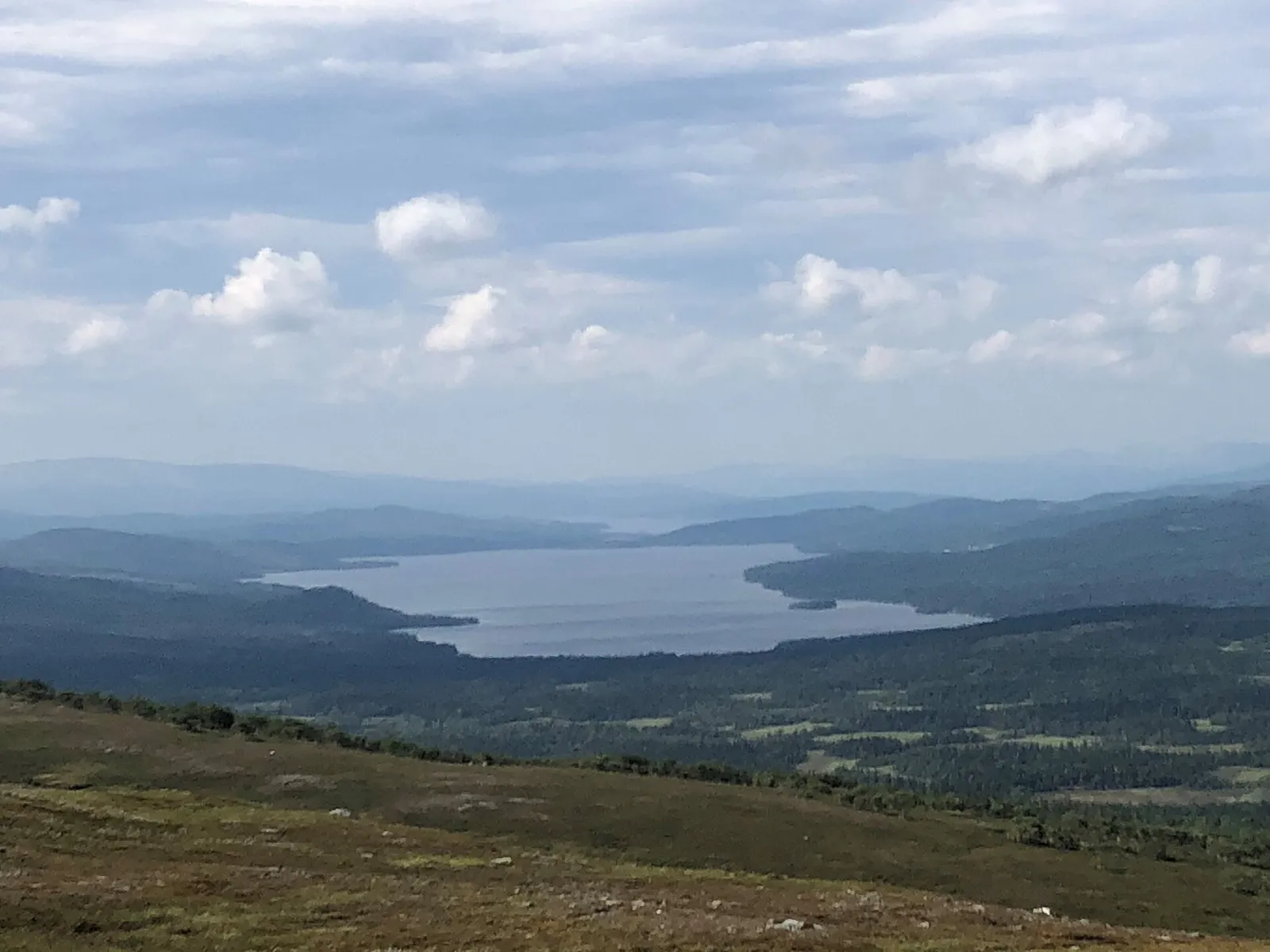
Two national parks, Lierne and Blåfjella–Skjækerfjella, long trout lakes by the Swedish border and quiet South Sámi reindeer country around Nordli.
Lierne is Trøndelag's largest municipality by area and mostly high ground: over half of it lies above 600 m, in forest, bog and open plateau. Farms are spread along the waterways in two districts, one in the middle of the municipality and Sørli in the south, and the southern rivers flow east into Sweden.
Fv74 makes it a slow way between Namdalen and Gäddede across the border. Give it a few days for fishing and walking, and a stroll on the old Lifjellet road.
Good to know
- Getting there: Fv74 runs from the E6 at Formofoss through Nordli to Gäddede in Sweden. Nordli is about 1 h 15 from Grong, 35 minutes from Gäddede.
- Season: The Muru trails into Lierne National Park can be walked all year, on snowshoes or skis in winter; Hestkjøltoppen is a July–September trip.
- Sleeping: Lierne Gjestegård has rooms and a campsite.
- Food: Li-snadder near Nordli smokes wild salmon, moose and reindeer heart over juniper and sells from its farm shop.
What to do and where to stay in Lierne
Places to stay are run locally, with no hotel or campsite chain behind them.
1Muru gateway: Raudberglia trails and the National Park Monument StoneHike
From the Lierne National Park gateway at Muru, in bear country, signed trails lead along a wooden path to the tarn Raudbergtjønna and about 3 km to the stone marking the 2006 opening.
Øvre jakthytta, Muru (Raudberglia), off Fv74 towards Gäddede · 1–3 h (about 6 km return to the monument stone) · all-year (snowshoes or skis in winter)
2HestkjøltoppenHike
Lierne's highest top at 1,390 m is an unmarked expert route via Vestgårdsetra, best done over two days with a night on Flatfjellet.
Estilsetra, from Mebygda in Sørli · 8–12 h, or 2 days · July–September
3Nordli ChurchHistory & culture
A white neo-Gothic wooden long church for about 250 people, built in 1873 to plans by Carl J. Bergstrøm on a site with a church since 1636.
Sandvika, Nordli · 15–20 min · outside all year; inside at services
4Tunnsjø Chapel and TunnsjøenViewpoint
A white 1876 wooden chapel at Tunnsjø senter by Tunnsjøen, Norway's seventh-largest lake at 100 km² and 222 m deep.
Tunnsjø senter, northern Lierne · 20–30 min · May–October best
5Sørli ChurchHistory & culture
A red-painted neo-Gothic wooden church from 1873 in Devika, Sørli, a forest district mostly above 500 m with big fish lakes such as Lenglingen and Rengen.
Devika, about 5 km west of Mebygda, Sørli, on Rv765 · 15 min · outside all year
6Lifjellet monument stone, Blåfjella–Skjækerfjella National ParkHike
A marked 3 km path from the Fv74 car park on Lifjellet, across bog and then rocky ground, to a stone at 677 m on the edge of Blåfjella–Skjækerfjella National Park.
Lifjellet, Fv74, about 47 km from the E6 towards Nordli · about 2.5 h (about 6 km return, under 250 m climb) · June–October (snow-free)
7Gamle Lifjellveg (old Lifjell road)History & culture
A car-free stretch of the 1892 road over Lifjellet, used until a new road in 1956 gave Lierne an open winter road; an easy walk to the old roadkeeper's station at Gosen.
Lifjellet, beside Fv74 between Grong and Nordli, just east of Gosen · 1 h (2.8 km return, almost flat) · May–October
8Kvetangseteren in KveliaHistory & culture
Ruins of six unusually large log buildings at a summer farm high above Kvelia, reached on a trail from Bakklund that was cleared in 2020.
Kvelia, by Fv765 between Nordli and Muru; trail from Bakklund · summer–autumn
9Glassberget smoky quartz at BergliaLocal oddity
A hillside where collectors found smoky quartz crystals the size of half-litre bottles; a 1.8-tonne block went to the museum in Oslo. Collecting needs the landowner's permission and a fee.
Berglia, by Tjallia, Sørli
10Kvebrenna burial moundsHistory & culture
Six Iron Age burial mounds on the old horse road from Kvemoen to Kvelia, now a cleared and boardwalked trail with iron slag visible at Brønnbu.
Kvemoen–Kvelia, Fv765 · summer–autumn
Nearby, also among the best for quiet & remote
- RøyrvikTrøndelagQuiet & remote (among Norway's best)Sámi & minority cultures (good)
- NamsskoganTrøndelagQuiet & remote (among Norway's best)Trout rivers (among Norway's best)
- LekaTrøndelagQuiet & remote (among Norway's best)Weird & wonderful (among Norway's best)
- HattfjelldalNordlandQuiet & remote (among Norway's best)Sámi & minority cultures (good)