Surnadal
Municipality · Møre og Romsdal
About Surnadal
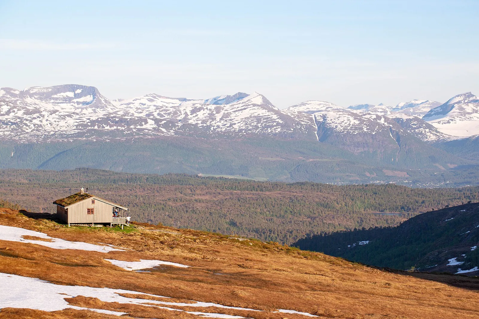
Svinvik Arboretum's rhododendrons on Todalsfjorden, Trollheimen peaks up to Snota, and the Surna, Møre og Romsdal's biggest salmon river.
What to do and where to stay in Surnadal
Places to stay are run locally, with no hotel or campsite chain behind them.
1Svinvik ArboretumNature
A garden on the slopes above Todalsfjorden, started by Halvor and Anne Svinvik in the 1940s, with over 375 kinds of rhododendron and 250 conifer varieties.
Todalsvegen 785, Todalsfjorden · 1–2 h · mid-May to early August; rhododendrons late May–June
2Svinvik GardFood & drink
A restaurant in a 17th-century barn by Todalsfjorden serving seven to nine courses from a central stone oven, with fjord scampi, Trollheimen game and Stangvik wild garlic.
Todalsvegen 823, Kvanne · 3 h dinner · Wed–Sat 19–22 (per Falstaff 2026)
3Kavlvegen culture trailLocal oddity
A 3 km trail from Åsen to an 800 m medieval log road (youngest log dated 1160), of which 200 m was rebuilt by hand by museum craftspeople in 2019–2023.
Between Åsen museum and Galtmettet · 1–1.5 h (3 km) · snow-free season
4Åsen MuseumHistory & culture
An open-air museum on a farm that was a posting station from the 1600s to 1911, with a smokehouse, croft, storehouses and a rock carved thousands of years ago.
Østbødalsvegen 53, Åsen · 45–60 min · by appointment
5KalkstrandaSwim
A white sandy beach about 2 km long, 15 minutes' drive from Surnadal centre, with a floating diving tower.
About 15 min from Skei · 1–3 h · summer
6SnotaHike
At about 1,668 m the highest top around Folldalen and Vindøldalen, a long day from Pebua: over 7 km by bike along the valley road, then a steep climb past Litjsnota.
Vindøldalen, Pebua car park · About 11 h (15 km each way, 1,457 m up) · July–September
7Naustådalssetra and NauståfossenHike
A short climb from Kårvatn in Todalen to a summer farm above the tree line, returning past the 110 m Nauståfossen waterfall.
Kårvatn, inner Todalen · 1.5–2 h each way (2.5 km, 326 m up) · snow-free season
8Kårvatn to Innerdalen via BjøråskaretHike
A marked, demanding 13 km crossing from Kårvatn over the 1,178 m Bjøråskaret pass into Innerdalen, often called Norway's most beautiful hiking trail.
Kårvatn (Surnadal) to Innerdalen (Sunndal) · Full day (13.1 km one way) · July–September
9Kårvatn mountain farmLocal oddity
A farm at the head of Todalen, farmed since the 1400s and given the county's 2022 cultural landscape prize; its barn, moved from Oppdal, houses the Kårvatn Fjellutstyr outdoor shop.
Kårvatn, inner Todalen · 30–60 min (or as a hike base) · All year; check opening hours before you go
10The Surna salmon riverNature
Møre og Romsdal's biggest salmon river runs the length of the valley and is counted among Norway's best salmon rivers; fishing needs a licence and a beat permit.
Surnadal valley, along Rv65/Rv670 · 30 min–a day · fishing season summer