Steigen
Municipality · Nordland
About Steigen
The WWII fortress Batterie Dietl on Engeløya, open for summer guided tours, Sigarshaugen burial mound beside medieval Steigen church, and sandy beaches facing Lofoten.
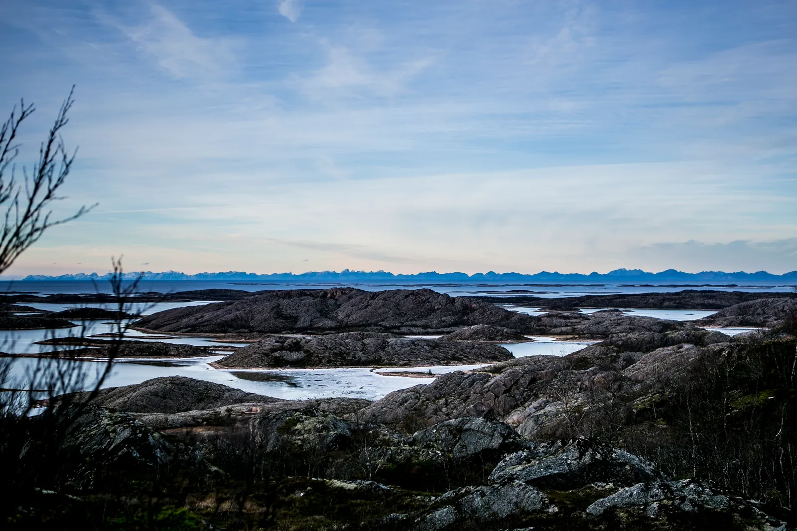
Steigen is a quiet corner of Salten at the end of an 8 km tunnel, with sandy beaches facing the Lofoten wall across Vestfjorden. People have farmed this coast since the Iron Age, and it shows: burial mounds, a medieval church and old farms along the shore.
It suits a detour of a day or two off the E6, for beach walks, short hikes and a slow drive out over the bridges to Engeløya.
Good to know
- Getting there: Fv835 leaves the E6 at Tømmerneset and runs through the 8 km Steigen Tunnel, so no ferry is needed. About 3 hours from Bodø or Narvik.
- Season: Batterie Dietl has guided tours from mid-June to mid-August; the beaches and hikes are best June–September.
- Sleeping: Fjellmo Camping (April–October) and small independent places on the shore, such as Manshausen, Nordskot Brygge and Helnessund Brygger.
What to do and where to stay in Steigen
Places to stay are run locally, with no hotel or campsite chain behind them.
1Batterie DietlHistory & culture
A German coastal fort built from 1942 whose three 406 mm guns covered Vestfjorden and the sea route to Narvik; one gun bunker is now a museum with guided tours.
Bøsjyveien 101, Bø, north-west Engeløya · 1.5–2 h · Summer with regular hours (2026: 13 Jun–16 Aug); museum says regular hours resume summer 2027, bookable visits off-season
2Steigen Church and SigarshaugenHistory & culture
A stone church whose oldest part dates from about 1250 beside Sigarshaugen, a 3 m high, 35 m wide burial mound from around the 600s that has never been dug.
Steig, south-west Engeløya · 30–45 min · All-year (exterior and mound); check opening hours before you go
3Steigen Fortidspark cultural trail and Vollmoa ring-yardHike
A signed trail from the church passes a lawman's mound, a hilltop bench and the outline of a ring of 16 turf houses from around AD 700 at Vollmoa.
From Steigen Church, Engeløya · 1–3 h (up to 7.4 km one way) · all-year
4BøsandenSwim
An 800 m white-sand beach with dunes at the outer end of Engeløya, looking across Vestfjorden to the Lofoten wall, with toilets and showers run by volunteers.
Bø, north-west Engeløya · 30 min–2 h · June–August for swimming; all-year walk
5TrohornetHike
A steep 8.6 km return hike to the 640 m summit in the middle of Engeløya, with views over Vestfjorden to the Lofoten wall and east to Stetind in Tysfjord.
Mølleskog car park, about 4 km from Ålstad junction, Engeløya · 3 h (8.6 km return, 727 m ascent) · April–October
6Prestegårdsskogen hazel forestLocal oddity
A nature reserve by the old Steigen vicarage with the northernmost known hazel forest, bar a few tiny stands; several other species also reach their limit here.
South side of Engeløya, by Steigen vicarage · 30–60 min · May–October
7Steigen Bygdetun (folk museum)History & culture
Nordland Museum's summer-open rural museum in a former doctor's residence at Laskestad, with old local houses, a café and a bed of the Steigen lily.
Laskestad, Engeløya · 1 h · 2026: 22 Jun–16 Aug, Tue–Sun 11–17
8HagbartholmenLocal oddity
An islet off Steig, reached on foot along a breakwater, with a large grave field where legend says Hagbard of the Hagbard and Signe saga was executed.
Off Steig, south-west Engeløya · 30–60 min · all-year (outdoor)
9Nordskot fishing villageViewpoint
A road-end fishing village of about 60 people at the tip of the peninsula between Skotsfjorden and Leinesfjorden, looking out to Grøtøy and the islands towards Lofoten.
Nordskot, between Skotsfjorden and Leinesfjorden · 30 min–1 h · all-year
10Langsteinen standing stoneHistory & culture
A standing stone by the county road near Steig, described as the tallest bauta in Nordland, a couple of hundred metres east of the Falsen bust.
County road east of the Falsen bust, Steig, Engeløya · 10–15 min · all-year
Nearby, also among the best for islands & island hopping
- VåganNordlandIslands & island hopping (among Norway's best)Mountains (among Norway's best)
- VestvågøyNordlandIslands & island hopping (among Norway's best)History (among Norway's best)
- FlakstadNordlandIslands & island hopping (among Norway's best)Mountains (among Norway's best)
- MoskenesNordlandIslands & island hopping (among Norway's best)Mountains (among Norway's best)