Stad

Municipality · Vestland
About Stad
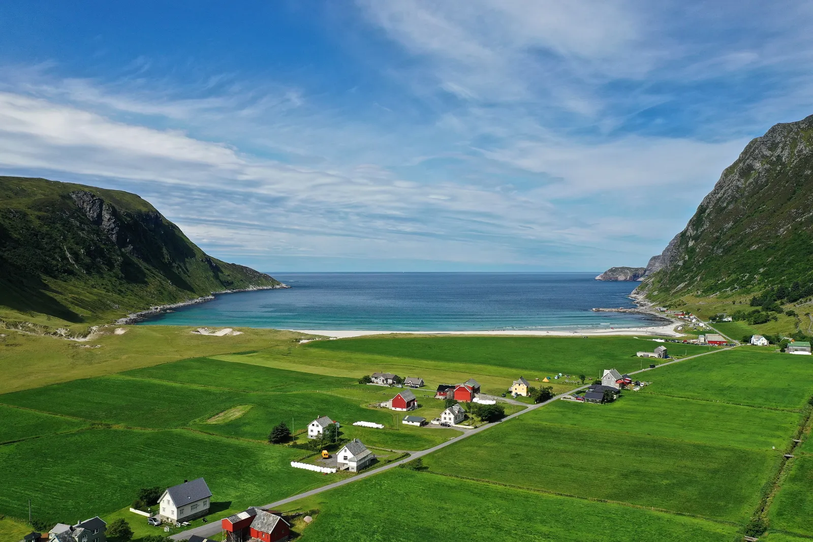
Surf at Hoddevik, stand on the Vestkapp plateau above the open sea, and take the boat to Selja's medieval monastery ruins.
What to do and where to stay in Stad
Places to stay are run locally, with no hotel or campsite chain behind them.
1Selja monastery (Selja kloster)History & culture
Benedictine monks built the monastery on Selja island in the early 1100s in memory of St Sunniva; you can climb the tower and walk to the Sunniva cave and well.
Selja island, 15 min by boat from Selje harbour · 2–3 h including boat · Boat 'Selja' from Selje harbour; check departures (listing says daily in all seasons)
2Vestkapp (Kjerringa)Viewpoint
A nearly flat mountain plateau at the tip of Stadlandet that drops steeply into Stadhavet from 496 m, with German WWII gun positions and a road to the top.
Outer tip of Stadlandet, north-west of Selje · 45–60 min · All year by road; weather can be extreme
3Hoddevik beach and its hairpin roadSwim
A white sand beach surfed all year, sheltered by steep mountains at the outer edge of Stadlandet and reached by a road of hairpin bends with views over the sea.
Hoddevik, 6751 Stadlandet · 1–2 h · All year (surf); beginners best in spring
4MosekleivhornetHike
A marked hike with several starting points (Ervik, Hoddevik, Dragseidet) to a top looking down on Hoddevik beach and the open sea.
Stadlandet, between Ervik and Hoddevik · About 4 h (8.4 km return, 488 m ascent from Ervik) · All year (listed); best spring and autumn
5Dragseidet and KongshaugenHistory & culture
The lowest pass over Stadlandet, where boats were dragged over logs to avoid Stadhavet; a stone cross from 1913 marks Olav Tryggvason's assembly of 997.
Between Leikanger and Drage, Stadlandet (Fv632) · 30–60 min · All year
6Ervik church and the Sanct Svithun memorialHistory & culture
A brick church from 1970 by the water in Ervika, on a churchyard used since before 1550, holds the memorial to those killed when SS Sanct Svithun sank in WWII.
Ervika, northern end of Stadlandet · 30 min (plus the beach) · All year (outside); church interior not known
7Sagastad and the Myklebust shipSight
A Viking centre in Nordfjordeid built around a reconstruction of the Myklebust ship, the largest Viking ship traces found in Norway, which visitors can step aboard.
By the fjord, Nordfjordeid · 1–1.5 h · May–Sep daily 09:00–17:00; Oct–Nov and Feb–Mar Tue–Sat 12:00–16:00 (2026–27)
8EidsgataHistory & culture
A kilometre-long street of white wooden houses from the late 1800s, listed as an urban area of national value, running from the waterfront to Eid church of 1849.
Centre of Nordfjordeid · 30–60 min · All year
9Norsk FjordhestsenterLocal oddity
The national fjord horse centre, where visitors can drop by to see the horses and, in spring and summer, the breeding station for mares from all over Norway.
Nordfjordeid · 30–60 min · All year (courses); breeding station spring–summer