Sørreisa
Municipality · Troms
About Sørreisa
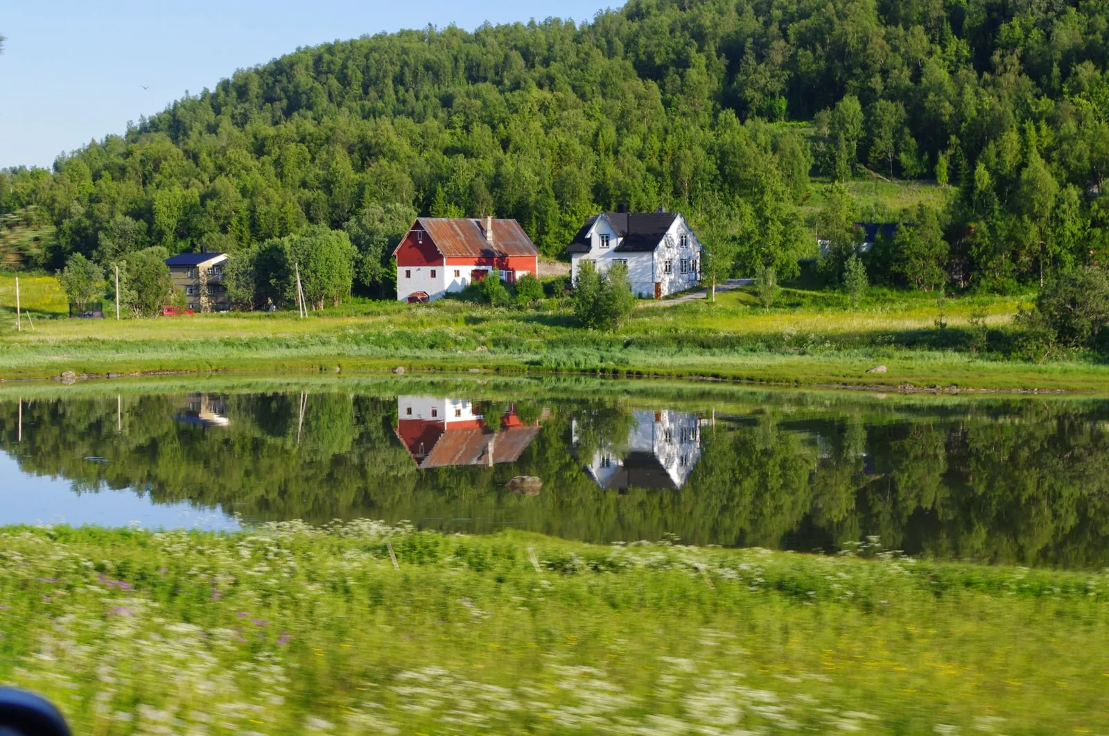
Kramvigbrygga, an 1887 wharfside general store, then valley hikes in Skøelvdalen below Hjerttinden, on the road to Senja.
What to do and where to stay in Sørreisa
Places to stay are run locally, with no hotel or campsite chain behind them.
1KramvigbryggaHistory & culture
An 1887 wharf warehouse bought by merchant Martin Anton Kramvig in 1891, where coast and inland people once sold produce and bought supplies.
Vikaveien 87, about 1 km from Sørreisa centre · 30–60 min · summer (occasional opening) / events year-round
2Middagsfjellet from GamtoftaHike
Marked path from the Sami site at Gamtofta, past the treeline, onto a summit inside the reindeer district's spring calving grounds.
Skardalen, above Skøelv · 3 h (7.8 km return, 656 m ascent) · June–October
3HjerttindenHike
Sørreisa's highest peak at about 1380 m, a long marked day hike from Rabbåsveien to the point where three municipalities meet.
Rabbåsdalen, trailhead at the road barrier on Rabbåsveien · about 6 h (16.7 km return, 1240 m ascent) · July–October
4Dagsturhytta FurøyActivity
A signposted 25-minute round-trip walk on Furøy to the municipality's free day-trip cabin, built in 2022, on a 112 m knoll.
Halsen, Furøy (turn off at inner Djupvågen) · 30–45 min (1.3 km return) · all-year
5Storvika beachSwim
The municipality's most-used saltwater swimming spot, where locals take to the fjord on the few properly warm summer days.
Storvika, near Djupvåg/Furøy on the Finnsnes road · 30 min–2 h · summer
6Sørreisa Church at TømmervikHistory & culture
Rebuilt in 1992 after an 1844 Grosch-designed church burned in 1987, it keeps the old octagonal footprint inside a white wood-and-steel shell.
Tømmervik, about 6 km north of the centre · 15–30 min · all-year (exterior); interior when open
7Straumen tidal narrowsLocal oddity
In Sørreisa centre, also called Straumen ('the current'), tidal currents push seawater into Reisvatnet, a lake barely above sea level.
Sørreisa centre (Straumen/Nordstraumen), outlet of Reisvatnet · 15 min · all-year
8LitjevatnetNature
A short signed path from Brekka through spruce forest to a pine-fringed tarn with a fire pit, kept packed by snowshoers in winter.
Above the Brekka housing area, south-west of Sørreisa centre · 1 h return · all-year
9Steinora in GumpedalenNature
A boulder field about 2 km long in Gumpedalen, called one of Northern Europe's largest, with a shelter halfway and a nature trail opened in 2026; step carefully between the blocks.
Gumpedalen, below Skredtinden, southern Sørreisa · summer–autumn
10VakkerhumpenHike
A 503 m top in the state-protected Vakkerhumpen–Kamplia area with 360° views to Senja, Hjerttinden and Istindene, plus shelters and fishing lakes.
East of Sørreisa centre towards the Målselv border
Special places to stay
farm stay / small cabin
Cabin at Brovoll Farm (Brovoll Gård)
A 17 m² cabin finished in 2024 on a working farm with horses, goats and dogs, where riding can be booked.
Brovoll Gård (host: Hanna Malene, Airbnb Superhost) · Sørreisa, Troms