Seljord
Municipality · Telemark
About Seljord
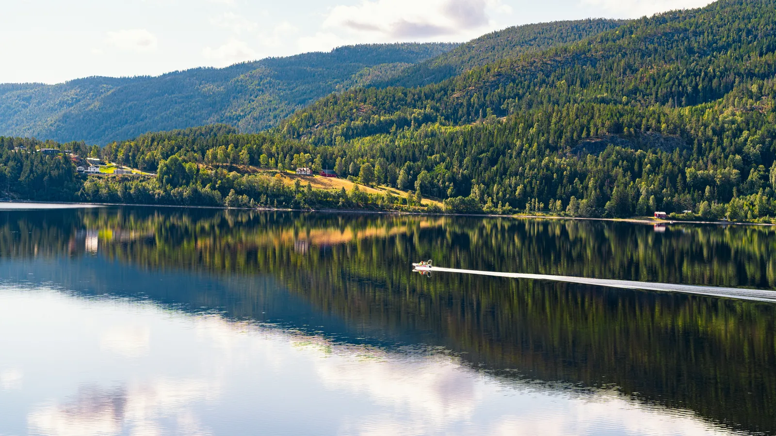
Look for Selma the lake serpent in Seljordsvatnet, see the medieval stone church and come in September for the Dyrsku'n rural fair.
What to do and where to stay in Seljord
Places to stay are run locally, with no hotel or campsite chain behind them.
1Sea Serpent Tower (Sjøormtårnet), BjørgeøyaneLocal oddity
A 17 m wooden lookout with three platforms, reached on a boardwalk across wetland, built in 2011 for scanning Seljordsvatnet for its sea serpent; lit at night.
Bjørgeøyane, at the head of Seljordsvatnet near Seljord centre · 30–45 min · All year
2Seljord church (Seljord kyrkje)History & culture
Romanesque stone church from the second half of the 1100s, dedicated to St Olav; Anne Grimdalen's monument to hymn writer Landstad, priest here 1840–48, stands beside it.
Seljord centre · 20–40 min · Outside all year; interior in summer; check opening hours before you go
3Bjørgefjell (Mount Bjørge)Hike
Seljord's lake hike: paths climb through farmland to viewpoints straight down on Seljordsvatnet; the last pull to the top is steep and the waymarking is patchy.
Above Seljord centre; start Nordigard Bjørge, Seljord Camping or Grunningsdalen (toll road) · 2–3 h · May–September
4Hanakamjuvet gorge walkHike
Easy family loop (about 3–4 km) past waterfalls and gorges in the Hanakam ravine, with views down over Seljord and its lake; used in summer and winter.
Gullnesvegen, up the road into Kivledalen above Seljord centre · 1–1.5 h (3.3–4 km loop) · All year (slippery in winter)
5Kivlemøyane – the stone maids of SkorveLocal oddity
Three dairy maids who, the legend says, lured the congregation out of mass in Seljord with their horn playing and were turned to stone; the shapes are pointed out on Skorve.
Skorve mountainside above Kivledalen; viewing stone on the Kivledalen gravel road · 15–30 min at the viewing stone; Kivledalen road about 1 h by bike · All year (road gravel)
6Skorve (Gøysen and Nordnibba)Hike
Two-summit mountain (Gøysen 1370 m) above Kivledalen; a 10.2 km loop passes signs to the wreck of a US plane that crashed here in 1944, killing eleven.
Start: Haugan car park in Kivledalen (gravel road up Gullnesvegen from Seljord centre) · Full day (10.2 km round trip to Gøysen; wreck detour +1 km) · Summer–autumn
7Nutheim gjestgiveri and Galleri Nutheim, FlatdalHistory & culture
Swiss-style inn from 1877 where painters such as Werenskiold, Henrik Sørensen and Kai Fjell gathered; Galleri Nutheim beside it holds a summer exhibition.
Flatdal, about 10 km north-west of Seljord centre on E134 · 30–60 min · Mainly summer (check)
8Flatdal church and the Flatdal cluster farmHistory & culture
Flatdal's church dates from 1654, and the valley keeps Flatdalslandsbyen, a clustered farm village with houses packed together in the old Telemark way.
Flatdal, along E134 west of Seljordsvatnet · 20–40 min · All year (outside)
9Aasmundsens Bakeri (Telemarksbakern)Food & drink
Seljord's traditional bakery and café, baking bread each morning for all of Telemark; coffee, lunch, pastries and cakes, with a patio.
Brøløsvegen 17, Seljord centre · 30 min · All year
10Sea serpent art walks (Grindekeiv, Telnesøyane, Vebekkdalen)Local oddity
Short walks around Seljordsvatnet each lead to a sea-serpent art installation; Telnesøyane is a 15-minute stroll out to the islands, Grindekeiv a steep hour.
Around Seljordsvatnet: Sanden camping (Rv36), Telnes camping, Garvikstrondi · 15 min–1 h each · Summer