Rindal

Municipality · Trøndelag
About Rindal
Rindal Ski Museum, which doubles as the village museum, a statue of 1937 world champion Sigurd Røen, and the Trollheimen mountains rising to the south.
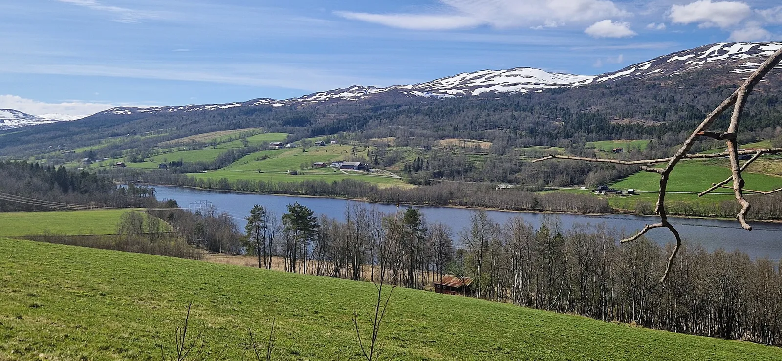
Rindal is a farming valley on the Surna, which forms where the Lomunda and the Tiåa meet, with the Rinda joining from the south-east. Farms line the valley floors almost without a break, while the far north and south of the municipality are nearly empty.
It suits a quiet night on Fv65 between Trondheim and the Møre coast: a swim in Igltjønna, which Yr often lists as Norway's warmest bathing water, and a half-day walk up Gråurfjellet or Stokkfjellet.
Good to know
- Getting there: Fv65 runs through the valley, from Orkanger and the E39 to Surnadal. About 1 h 45 from Trondheim.
- Season: The ski museum's main season is June to August, and the Gråurfjellet hike is best from May to November.
- Food: Bolme Pensjonat on Fv65 serves a home-cooked dinner daily from 13:00, and the farm bakery at Hæmstelt opens at weekends.
What to do and where to stay in Rindal
Places to stay are run locally, with no hotel or campsite chain behind them.
1Rindal Ski Museum (Rindal skimuseum)History & culture
Norway's museum of skiing and wooden ski-making, built round the Landsem collection of skis, machines and patents, in a village museum of 15 old buildings.
Rindalsvegen 40, Rindal village, across the road from Igltjønna · 1–2 h · Main season June–August (Tue–Sun 11–17 per artsupp); events such as the Wooden Ski Festival other times
2IgltjønnaSwim
A small lake right in Rindal village, across the road from the ski museum, that often shows up on Yr as the warmest bathing water in Norway.
Rindal village centre · 30 min–2 h · Summer for swimming; walks all year
3Statue of Sigurd RøenLocal oddity
A statue by Olaf Leon Roald, unveiled in 1991 in the village centre, honours local skier Sigurd Røen, a world champion in 1937.
Rindal village centre · 5–10 min · All year
4Rindal ChurchHistory & culture
Rindal's third church, a long timber church from 1874 in neo-Gothic and Swiss style; the first, a stave church, was pulled down in 1689.
Rindal village · 15–20 min · All year (outside)
5Gråurfjellet (792 m) from FossdalenHike
A blue-marked 7.7 km return hike from Fossdalen in Lomunddalen, past the outfield site of the Rindal village museum, to a summit cairn with a trip book.
Fossdalen, off the road to Lomunddalen from Nybø (Øvre Rindal) · 3.5 h (7.7 km return, 374 m ascent) · May–November (summer parking at Fossan; winter parking at the Setertrøa gate, 2 km further away)
6Stokkfjellet from HaltliaHike
An 8.5 km return walk from Haltlia, the last farm in Romundstadbygda, past the lakes Litlvatnet and Setervatnet to the top of Stokkfjellet.
Haltlia, Romundstadbygda, about 7 km east of Rindal village · 3 h (8.5 km return, 301 m ascent) · All year (winter routes via Kysingvatnet, Setra or Storholten)
7Langvatnet accessible trail, HelgetunmarkaNature
A family-friendly outdoor area by Langvatnet with a step-free path, a lean-to shelter, a fishing pier and marked trails of several lengths, plus ski trails in winter.
Langvatnet, Helgetunmarka, about 17 km by road from Rindal centre · 30 min–2 h · All year (prepared ski trails in winter)
8Øvre Rindal ChapelHistory & culture
A small chapel at Tiset in upper Rindal, consecrated in 1911.
Tiset, Øvre Rindal (upper Rinda valley) · 10–15 min · All year (exterior)
9Svartådalen and its trapping pitsHike
A Trollheimen summer-farm valley on the marked route between Trollheimshytta and Jøldalshytta, with a row of about ten old reindeer trapping pits and a waterfall by Øyasetra.
Svartådalen, Trollheimen, south of Rindal · July–September
10Rørvatnet beachSwim
Rindal's own lake beach with a lean-to shelter, barbecue, beach volleyball court and a path round the water, set up for wheelchair users.
Rørvatnet, north-east Rindal · summer