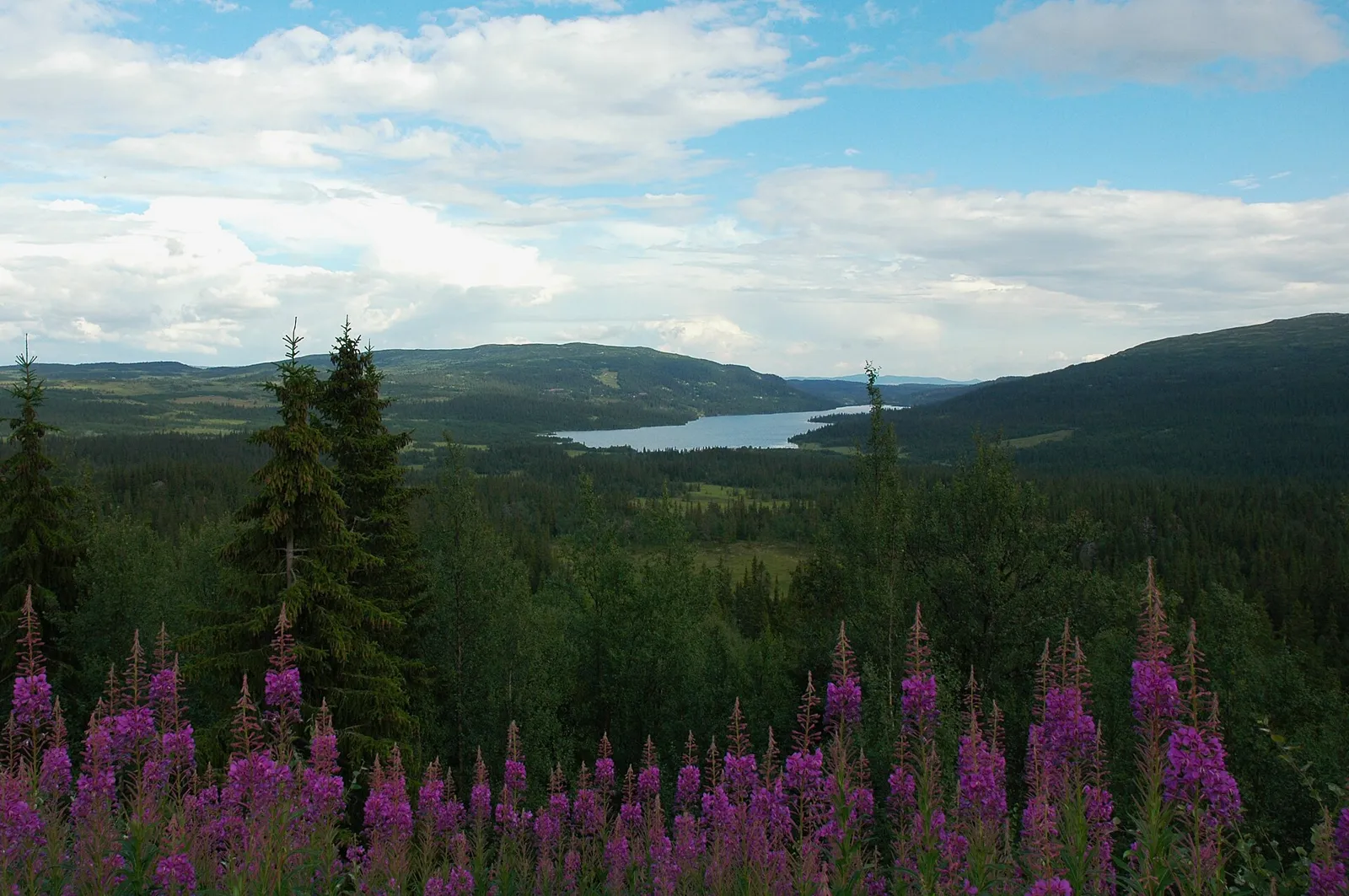
Nordre Land
Municipality · Innlandet
About Nordre Land
The Ramsar-protected Dokka Delta at the head of Randsfjorden, Lands Museum in Dokka and hikes up Spåtind on Synnfjell.
What to do and where to stay in Nordre Land
Places to stay are run locally, with no hotel or campsite chain behind them.
1Dokka deltaNature
The Ramsar wetland where the Etna and Dokka meet Randsfjorden, a key resting place for migrating waterbirds in eastern Norway; 52 red-listed species seen.
Head of Randsfjorden, just south of Dokka · 1–2 h · best April–May (spring migration, mudflats); trails snow-free months
2Spåtind from HuguliaHike
A 14.6 km loop to 1,414 m Spåtind, Synnfjell's top on the Etnedal border, with views to Jotunheimen, Rondane, Snøhetta and, on clear days, Sälen in Sweden.
Parking north of Hugulia, Synnfjell (Nord-Torpa) · 5 h (14.6 km loop, 615 m up) · May–November
3Møllerstufossen rock carvingsHistory & culture
Moose carved more than 6,000 years ago into a rock 10 m from the Etna river, deep-cut and repainted, seen from a small boardwalk with a picnic spot by the rapids.
Nordsinni, about 12 km west of Dokka by the Etna river · 30 min · snow-free months; the river almost floods the site in spring
4Lands MuseumHistory & culture
More than 30 historic buildings at the top of Randsfjorden, the oldest about 1630; the Thomle house has rococo murals painted by folk artist Peder Aadnes.
Dokka · 1–2 h · summer (2024: about 22/23 June–18 August); check randsfjordmuseet.no
5Nordsinni churchHistory & culture
A 1758 church moved to its present site in 1898, with a painted interior by Peder Aadnes and an altarpiece and pulpit by Lars Pinnerud.
Nordsinni, west of Dokka · 20–30 min · churchyard all year; inside at services or by arrangement
6SkjervungfjelletHike
An easy 2 km family walk to 1,098 m from behind Spåtind Sport Hotel, open all year, with views of Spåtind and Ormtjernkampen when the big peak is in cloud.
Synnfjell, start at the Red Cross cabin and Synnseter · 1–1.5 h (about 2 km up) · all year
7Storgata and the log drivers' monument, DokkaSight
Dokka's main street has been done up with Swiss-style wooden houses, cafés and shops, and Erik Tandberg's log drivers' monument is worth a look on the way.
Dokka centre · 15–30 min · all year
8SvartkampenHike
A 1,168 m top in western Nordre Land with wide views; about 8 km to the summit, or a 7.8 km loop over Gråberga from Jomyrkroken.
Western Nordre Land, from Jomyrkroken · About 2.5 h · Summer and autumn
9DokkfløyvatnetHistory & culture
A mountain reservoir in the upper Dokka valley. Digs from 1978, before damming, found 121 moose traps, 90 iron-making sites and 68 Stone Age camps in the dam area, the oldest over 9,000 years.
Upper Dokka valley, on the Gausdal–Nordre Land border
10RøssjøkollvatnetHike
A mountain lake at about 1,100 m in Langsua National Park, by Røssjøkollhytta below Røssjøkollane; komoot has an easy 6 km walk there.
Langsua National Park, western Nordre Land (Røssjøkollane summit itself is in Gausdal) · About 2 h