Lund

Municipality · Rogaland
About Lund
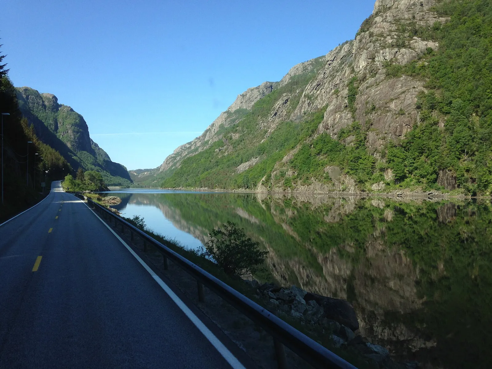
The steep 1844 Tronåsen road, once a stage of the Monte Carlo Rally, and the lakes and bare heaths of Magma UNESCO Geopark around Moi.
What to do and where to stay in Lund
Places to stay are run locally, with no hotel or campsite chain behind them.
1Tronåsen old roadSight
A narrow one-way road finished in 1844 with 11 hairpins and gradients up to 1:3; on the 1931 Monte Carlo Rally it was one of the most feared stretches.
From E39 at Tronevik, north end of Lundevatnet, down to Bakke bru · 30 min drive (5.4 km), or walk up from Sira · 1 May–1 September (closed to cars the rest of the year)
2GursligruveneHike
A 4 km old mine road with hairpins climbs to molybdenum mines worked 1915–1919, once Lund's biggest employer, with sealed entrances and barrack foundations.
Gursli, about 5 km from Moi towards Skåland/Hauge i Dalane · 3 h (8.2 km return, 330 m ascent) · May–September
3GullbergtuaHike
A marked hike to a 463 m cairn on charnockite rock, with bare rounded outcrops stretching about 4 km north and glacial boulders by Røyseland farm.
Off fv. 501 near Moi · About 2.5 h (marked trails) · May–October
4GauksomhyttaHike
An open day-trip cabin with a wood stove and its own small library, 35–40 minutes' walk from the Sætra area, with a groomed ski trail to the door in winter.
Sætra outdoor area above Moi · 1.5 h return · all year (ski trail in winter)
5Lund bygdemuseum og kulturbankHistory & culture
The village museum in Moi tells Lund's craft and industrial history, with a focus on its furniture and toy making; a new exhibition opens in summer 2026.
Skålandsveien 118, Moi · 1 h · summer opening; other times by appointment
6Lund kirkeHistory & culture
A white wooden church from 1808 in the centre of Moi, built with salvaged materials from the church before it on a site recorded since 1409.
Moi centre · 15 min · all year (open for services)
7RøverholaLocal oddity
A mostly gravel path of about 2.5 km near Ualand leads to a hollow among overhangs and boulders where, by local legend, robbers hid from the law.
Birkemoveien car park, Ualand · About 30 min each way (about 2.5 km) · May–October
8Heskestad kirkeHistory & culture
A white timber long church by Victor Nordan in the village of Heskestad, 700 m from a medieval stave-church site recorded in 1380.
Heskestad village · 15 min · all year (services)
9Hellerstunet and the singing stoneLocal oddity
A restored farmyard on the old 1843–44 main road, with a 19th-century stone barn, an old milestone and a short path to a "singing stone".
Hellerenveien off the E39, near the Eigersund border · 30–45 min (200 m path to the stone) · all year (best May–October)
10Naså (Aknipen)Hike
A 3 km walk up a farm track and forest road behind Moi to a summit cairn with a view over the village, about an hour each way.
End of Øvre Hauklandsvei, Haukland above Moi · About 2 h return (3 km each way) · May–October