Holtålen

Municipality · Trøndelag
About Holtålen
Scan the night sky for the unexplained Hessdalen lights, hike Forollhogna's wild-reindeer plateau, then take the Riastvegen toll gravel road over to Tydal.
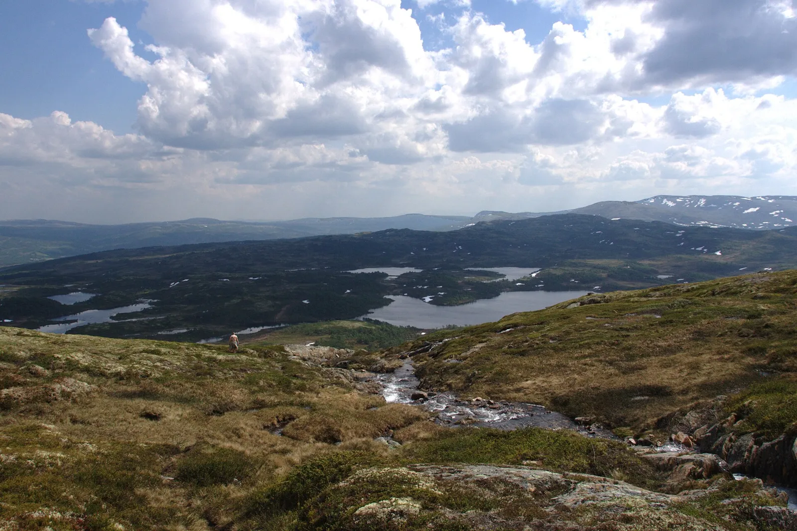
Holtålen is the top of Gauldalen: steep, forested valley sides along the Gaula and the Rugla, and wide mountain land above, most of it over 600 m. Copper and pyrite have been mined and smelted here since the 1600s, and the Killingdal mine only closed in 1986.
Fv30 and the Røros railway follow the valley, so most people pass through on the way to Røros. Stop for the Hyttfossen waterfall, or walk by a mountain lake such as Øyungen.
Good to know
- Getting there: Fv30 follows the Gaula through Haltdalen and Ålen. Ålen is about 35 minutes from Røros and 2 hours from Trondheim.
- Season: Riastvegen, the gravel toll road to Tydal, is open June–September; dark evenings from September to March are best for watching the Hessdalen lights.
- Sleeping: Nordpå Fjellhotell, on an old farm above Haltdalen, is open all year.
- Food: Kaffekråa in Ålen has cooked with local produce since 1992, a lunch stop on Fv30 between Støren and Røros.
What to do and where to stay in Holtålen
Places to stay are run locally, with no hotel or campsite chain behind them.
1Hessdalen valley and the Hessdalen lightsLocal oddity
Unexplained balls of light have been reported over the mountains of this side valley since December 1981, and an automatic station has recorded them since 1998.
Hessdalen, side valley off Rv30 about 2 km north of Ålen · 1–3 h (an evening of watching) · All year; dark evenings September–March are best for watching
2Hessdalen churchHistory & culture
A small wooden church from 1940 that houses a pulpit from 1705 and a 17th-century altarpiece moved here from the old church at Ålen.
Hessdalen village · 15–30 min · Outside all year; inside only at services or by arrangement
3Ålen churchHistory & culture
A white neo-Gothic wooden church from 1881 that kept the small entrance porch, from about 1675, of the old church that stood 80 m away.
Renbygda (Ålen), by the Gaula river and Rv30 · 15–20 min · Outside all year; inside at services
4Riastvegen and Lake RiastenViewpoint
A summer gravel toll road from Reitan in Ålen over the mountains to Stugudal in Tydal, past summer farms and Riasten, a 5 km lake at 805 m.
About 25 km east of Renbygda, on the border with Tydal · 1–2 h as a drive; the lake loop is about 15 km by bike · June–September (road open to traffic)
5Lake ØyungenNature
The largest lake in the Øyungen protected landscape, with trout and Arctic char and popular for ice fishing; the Øyungsvegen gravel road follows its south shore.
Øyungen landscape protection area, west of Hessdalen · 1–3 h · Road in the snow-free season; ice fishing in winter
6Hessjøen loopHike
An easy, well-marked 5.8 km loop round the lake Hessjøen with about 150 m of climbing, starting from the parking and information board at Båtvika.
Båtvika, Hessjøen, upper Hessdalen · About 2 h (5.8 km loop) · May–October
7Berghøgda from SlettæletHike
A trail of about 6 km each way from Slettælet in Øyungen up to Berghøgda (1,246 m) inside Forollhogna National Park, home to Norway's most productive wild reindeer herd.
Slettælet, Øyungen area, western Holtålen · 4–5 h (about 12 km return) · June–September
8Elgsjømoen to DalbusjøenHike
An easy 6.2 km family walk with only about 100 m of climbing, from Elgsjømoen, the last summer farm in the Øyungen area that still produces milk, to the lake Dalbusjøen.
Elgsjømoen setergrend, west of Øyungen · About 2 h one way (6.2 km) · June–September
9Langen fishing spot, BåttjønndalenNature
A small lake fitted out for everyone, with a wheelchair path, fishing piers, a fire pit, seats and a toilet, in Båttjønndalen in the Øyungen protected landscape.
Båttjønndalen, Øyungen protected landscape · 1–2 h · Snow-free season
10Kjøli mineHistory & culture
Remains of a copper and pyrite mine at about 1,060 m on Kjølifjell, worked on and off from 1766 to 1940; DNT's Kjølihytta stands where the mine office was.
South slope of Kjølifjell, south-east Holtålen · Half day (about 12 km return) · Summer (marked trail June–September); winter via ~8 km from the Brekken–Stugudal road