Hol

Municipality · Buskerud
About Hol
Geilo's slopes, Hallingskarvet National Park and the Rallarvegen, the old navvy road you cycle from Haugastøl over the mountains toward Flåm.
What to do and where to stay in Hol
Places to stay are run locally, with no hotel or campsite chain behind them.
1Prestholt stairs (Prestholttrappa) to HallingskarvetHike
About 2,000 stone steps laid by Nepalese Sherpas in 2013 climb from Prestholtseter (1,242 m) to Prestholtskaret at about 1,600 m on the Hallingskarvet ridge.
Prestholtseter, north-west of Geilo · About 2 h for the 6.5 km Prestholt round; 3 km one way to the top · July–September (snow-free)
2Hallingskarvet panorama and FolarskardnutenNature
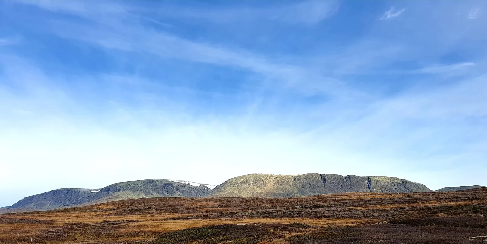
A flat 8.5 km round from Prestholtseter under the 35 km Hallingskarvet ridge, whose top Folarskardnuten (1,933 m) is the highest point in Buskerud.
Hallingskarvet National Park, north of Geilo and Ustaoset · 3 h (8.5 km round) · July–September
3HivjufossenNature
A waterfall of about 250 m in an upper and a lower part, reached on a 3 km walk up a steep birch slope from Rv50.
West of Hovet, trail from Rv50 about 300 m below Bakkebrua · 1.5–2 h (about 3 km) · June–September
4Hol Old Church (Hol gamle kyrkje)History & culture
Hol's oldest church, begun as a small 1200s stave church and enlarged in the 1400s and 1798–99, with a 1815 church house and 1844 priest's house beside it.
Ålmannvegen 2, Hol, north-west end of Holsfjorden · 30–45 min · Early July–mid-August, Mon/Tue/Thu 11:00–16:00 with a guide
5Hol Bygdemuseum at HagafossHistory & culture
Founded in 1914: 17 houses from across Hol set out as an old farm, with rose-painted rooms by Kittil Rygg and Kristen Aanstad and Øvre Hallingdal folk costumes.
Mogrendvegen 25, Hagafoss · 1 h · Summer; check opening hours before you go
6Ustedalsfjorden loop and the Geilo TrollHike
A car-free 10 km path round the lake at Geilo past a petrified troll pointing to Hallingskarvet, Viking graves, a sandy beach and three fire pits; a ski track in winter.
Round Ustedalsfjorden, Geilo · 2–3 h on foot; about 1 h by bike or ski · All year (ski track mid-Nov – mid-April, snow allowing)
7Fekjo Cultural Heritage Park and TuftebruiHistory & culture
Viking Age burial sites and outdoor sculptures by Ustedalsfjorden, near Tuftebrui, a copy of a traditional timber bridge at the start of the old Nordmannsslepa route.
North-west side of Ustedalsfjorden, Geilo (short detour from the loop) · 30–60 min · All year
8Geilo beach on UstedalsfjordenSwim
A sandy beach on the lake in Geilo with changing rooms, toilets and a fire pit, on the 10 km loop path.
Ustedalsfjorden, Geilo · 1–2 h · July–August for swimming
9Rallarvegen from HaugastølActivity
Haugastøl in Hol is one start of Rallarvegen, the 81 km construction road built 1894–1902 for the Bergen Railway; the first stretch to Finse suits families.
Haugastøl, Rv7 west of Geilo · 1–3 days for the whole road; a day to Finse · Mid-July – late September (snow can lie into July; closed in winter)
10GeilojordetHistory & culture
A cluster of 200–300-year-old Hallingdal farm houses in the middle of Geilo, open all year, with the ski slopes behind.
Central Geilo · 30 min · All year