Haram
Municipality · Møre og Romsdal
About Haram
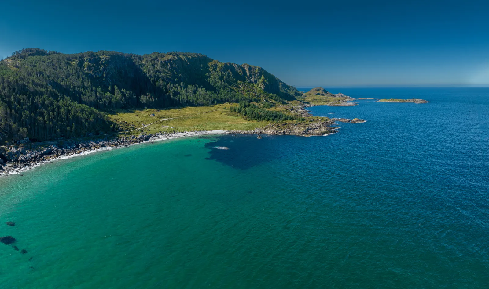
Nordøyvegen's undersea tunnels out to Haramsøya's octagonal 1838 church and Ulla lighthouse, the Skulen hike on Skuløya, and the Stone Age cave Hamnsundhelleren.
What to do and where to stay in Haram
Places to stay are run locally, with no hotel or campsite chain behind them.
1NordøyvegenSight
Opened in 2022, this road of causeways, bridges and three undersea tunnels (up to 5.7 km long) ended the ferries to the Nordøyane islands.
From Skjeltene/Lepsøya to Haramsøya, Skuløya, Fjørtofta and Harøya · 30–60 min drive · all year
2Ulla LighthouseHistory & culture
A lighthouse from 1874 on Kvernholmen, reached by a short bridge from the north tip of Haramsøya; bombed in 1944, rebuilt by 1950 and now kept by a volunteer group.
Kvernholmen, north-west tip of Haramsøya · 30–60 min · all year (outside)
3Haram ChurchHistory & culture
An octagonal white wooden church from 1838, drawn by the parish priest, with a neo-Gothic tower added in 1878 and an altarpiece moved from the old stave church.
Austnes, Haramsøya · 15–30 min · outside all year; inside at services
4SkulenHike
The 492 m top of Skuløya, a 2.1 km signed walk from Longva with a small summit shelter whose maps name the views out to sea and the mainland peaks.
From Coop Prix, Longva, Skuløya · 1.5–2.5 h return · all year
5HamnsundhellerenLocal oddity
A cave on a headland by Grytafjorden where digs since 1877 found Stone Age tools and over 15,000 bones of animals, fish and birds.
Headland by Grytafjorden, Hamnsund · 30–60 min · all year
6BlåskjerdingenHike
At 1,069 m the highest top in Haram, climbed from the valley above Vatne by tractor road, forest path and a boulder field, with views to Molde and Ålesund.
Above Vatne, near the Vestnes border · 3.5–5 h (9.3 km return, 925 m ascent) · summer–autumn
7Goaldet, LepsøyaHike
A well-marked 4 km hike from Fjellveien near the Lepsøya harbour to the 490 m top of the island, with a 360-degree view; can be extended to the Rønstadhellaren cave.
Fjellveien, Lepsøya · 1.5–3 h (4 km, 440 m ascent) · all year
8Cultural path around LepsøyaHistory & culture
A 6 km blue-marked shore path from Rønstad to Hellevik with audio-guide boxes and two caves, one of them Rønstadhellaren, where a 200 BC bone comb was found.
Rønstad or Hellevik, Lepsøya · 3 h one way (6 km) · all year (slippery rock in rain and frost)
9Lepsøyrevet lighthouseSight
An 11.5 m octagonal concrete tower from 1879 at the end of a mole, one of only two of its design on the coast, put out in 2014 and restored; the mole is slippery when wet.
Skjelten, by the turn-off to Lepsøybrua (Fv659)
10Samhjartet (Tinden)Hike
A distinctive rock top above Synnalandsvatnet, climbed from Brattvåg with 436 m of ascent, with views north to the Nordøyane islands and south to the Sunnmøre Alps.
Dam at the north end of Synnalandsvatnet, Brattvåg · about 4.5 h