Drangedal

Municipality · Telemark
About Drangedal
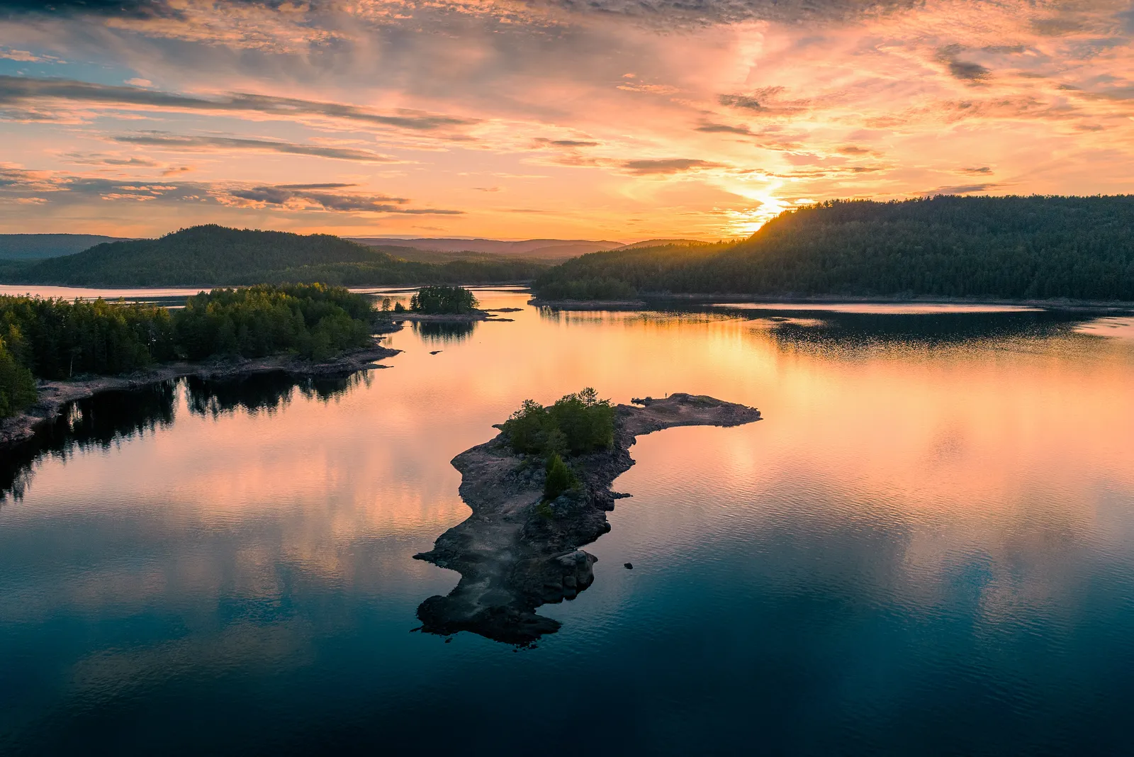
Lake Toke's 185 km of island-studded shore, a via ferrata in the granite bowl of Himmelriket and the rope-assisted climb up Rønnomnibben.
What to do and where to stay in Drangedal
Places to stay are run locally, with no hotel or campsite chain behind them.
1RønnomnibbenHike
A 615 m granite summit on a hard 9.2 km return hike, with fixed ropes on the last stretch; about five hours from Åse on road 358.
Åse, between Bostrak and Gautefall (Rv358) · About 5 h (9.2 km return) · May–October
2Himmelriket, GautefallNature
An easy walk from Gautefall into a granite bowl smoothed by Ice Age glaciers, with an old bear den, and the Himmelriket via ferrata climbing 170 m.
Gautefall, western Drangedal · 1–2 h · All year (on foot in summer, snowshoes or skis in winter)
3Lake TokeNature
A 30 km² lake with 185 km of shoreline, countless islands and coves, and a deepest point of 147.5 m in Rørholtfjorden.
Central Drangedal, along Rv356 north of Prestestranda · 1 h – full day · May–September for paddling and swimming
4Kragerøbanen rail trail from NeslandsvatnHike
Paved, lit path on the old Kragerø railway, closed to passengers in 1988, from Neslandsvatn station with a lake beach and barbecue shelter; 14 km return.
Neslandsvatn station, southern Drangedal · About 1.5 h by bike (14 km return) · April–October
5Drangedal bygdetunHistory & culture
Open-air museum by Lake Motjenn with 19 historic buildings from the 1700s–1900s and a forestry exhibition, with summer guided tours, a seasonal café and market days.
Heireks vei 4, near Prestestranda · 1 h · Summer and event days
6Strandgata 24 trading houses and bakeryHistory & culture
Old waterside trading sheds and an 1869 bakery at Prestestranda; the shop ran until 1996 and much of its interior survives, used as a summer café for a few weeks.
Strandgata 24, Prestestranda (Drangedal centre) · 20–45 min · Exterior all year; summer café about six weeks a year
7Prestestranda beach and Toke BryggeSwim
Sandy family beach in the village centre with a swimming jetty, beach volleyball and step-free access, and canoes to borrow for Lake Toke.
Prestestranda, Drangedal centre · 1–3 h · June–August
8NåsnibbenViewpoint
A 400 m lookout over the lakes Nåsvannet and Åkrevannet towards Gautefall, on a moderate 5.6 km return hike from the Lunde–Drangedal road.
Off the county road between Drangedal and Lunde, past the Singusdal turnoff · About 2 h (5.6 km return, 296 m up) · April–October
9Gautefall ski centre and cross-country trailsActivity
Ski centre opened in 1976 with about ten slopes and a six-seat chairlift, plus around 100 km of marked cross-country trails.
Gautefall, western Drangedal · Half day – full day · Winter (roughly December–April)
10Kjerringfossen and FossaneLocal secretSwim
Two river falls about 1.5 km apart that locals use for swimming, fishing and paddling. Swim in the pool, not the fall; strong current after rain.
Kjerringfossen, Drangedal · June–August