Båtsfjord

Municipality · Finnmark
About Båtsfjord
Floating hides for king and Steller's eiders in Båtsfjord harbour, gannets at Syltefjordstauran, and the near-abandoned fishing village of Hamningberg.
What to do and where to stay in Båtsfjord
Places to stay are run locally, with no hotel or campsite chain behind them.
1Syltefjordstauran bird cliffNature
A 3 km cliff up to 222 m high with Northern Europe's largest kittiwake colony and a gannet colony, best seen from a boat below it.
North shore of Syltefjorden, about 10 km northeast of abandoned Nordfjord · 2–3 h by boat · roughly April–August (nesting); boats in summer
2King and Steller's eiders in Båtsfjord harbourNature
In late winter, large flocks of Arctic sea ducks, including king and Steller's eiders, gather among the trawlers in one of Norway's busiest fishing harbours.
Båtsfjord harbour quays · 30 min–2 h · winter; best February–mid-April (too dark Dec–Jan for photos)
3Hamningberg fishing villageHistory & culture
A village the retreating Germans left unburnt, with 19th-century houses, Pomor-era Russian log huts and a 1949 chapel; the last year-round residents left in 1965.
End of Fv341, about 40 km north of Vardø airport · 1–2 h · June–September (road closed in winter)
4'End of Europe' loop at HamningbergHike
A 4.3 km loop from the chapel over the headland past ruins of a German coastal fort and gun battery, with seals and passing whales possible.
Hamningberg · 1–1.5 h (4.3 km, 80 m climb) · June–September
5Syltevika and Persfjord beachesHike
A 13 km walk over raised beach ridges in a reserve where driftwood from Siberian rivers, carried across the Arctic Ocean, lies on the boulder shores.
Ytre Syltevika, Persfjorden–Syltefjorden landscape protection area, off the Hamningberg road · 3.5 h (12.9 km loop, 120 m climb) · June–September
6Båtsfjord ChurchHistory & culture
A brick church from 1971 by architect Hans Magnus, seating about 300, with stained-glass windows.
Båtsfjord town · 20–30 min · all-year (interior at services or by arrangement)
7Båtsfjordfjellet mountain roadViewpoint
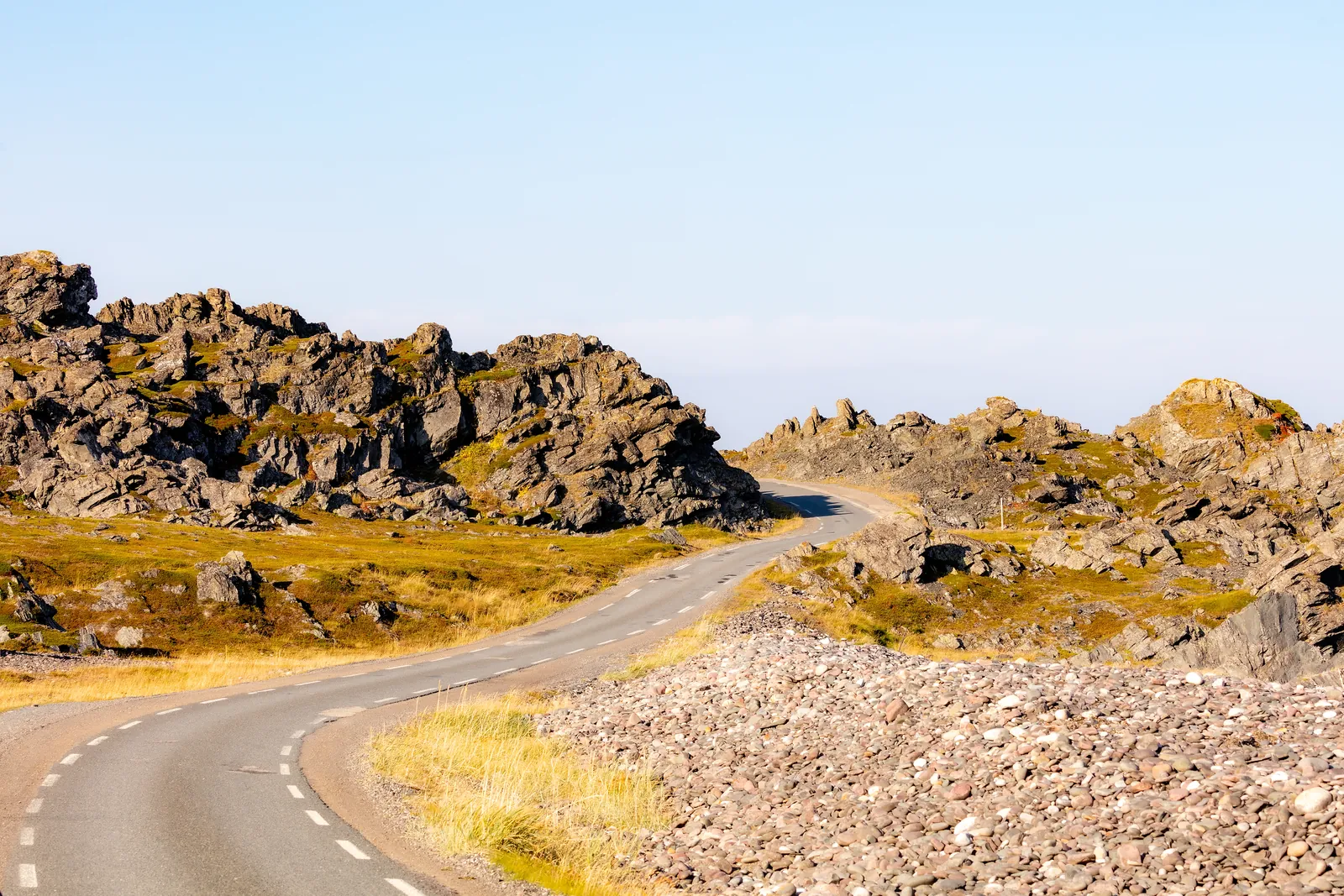
Rv891 crosses a 358 m plateau of block fields older than the last ice age, scattered with ring-shaped ground formations left by the ice.
Rv891 between Kongsfjordfjellet and Båtsfjord · 15–30 min stop · all-year road, but winter closures and convoy driving possible
8Båtsfjord BryggeFood & drink
A 1958 harbourside fishermen's hostel, run since 2013 by Frode Grønberg and his wife, serving hearty meals beside the fishing fleet.
Harbour, Båtsfjord · 1 h · all-year
9Café at Båtsfjord Farmen Syltefjord CampingFood & drink
A summer café at the mouth of the Syltefjord river serving reindeer and king crab dishes, at the end of the road towards the Stauran bird cliff.
Mouth of Syltefjordelva, Syltefjord · 1 h · café 1 June–31 August; campsite 15 May–1 October
10Fossen waterfall walk round Båtsfjord airportHike
A path up Båtsfjorddalen leads to the Fossen waterfall and small lakes behind the airport, with an optional extension to Pervatnet for fishing.
Båtsfjorddalen, by Båtsfjord airport · 2.5 h (4.3 km, 159 m climb) · June–October
Special places to stay
harbour lodge / fishermen's huts
Båtsfjord Brygge fishermen's huts
Rooms in a 1958 lodge built for visiting fishermen, plus fishermen's huts, right on Båtsfjord's working harbour.
Båtsfjord Brygge (Frode Grønberg) · Båtsfjord harbour
remote fjord campsite with cabins, glamping tents and sauna
Cabins and glamping at Båtsfjord Farmen Syltefjord Camping ↗
Small cabins and glamping tents with a sauna at a river mouth in an almost empty fjord, close to the Stauran seabird cliff.
Båtsfjord Farmen · Syltefjord
Book something local
boat / birding
King eider and Syltefjordstauran boat trips
Winter boat trips get close to king eiders, and summer trips sail beneath the Syltefjordstauran cliff to see the kittiwakes and gannets.
Båtsfjord Brygge Arctic Resort · Båtsfjord / Syltefjord